20 Nov. 2020
5 good reasons to stay in Coeur de Tarentaise in Winter
Posts


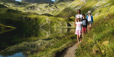
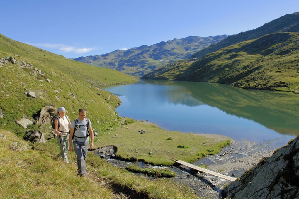
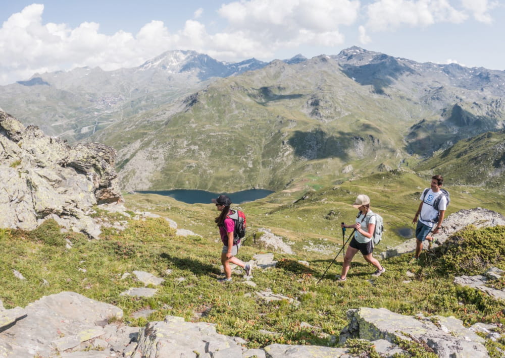
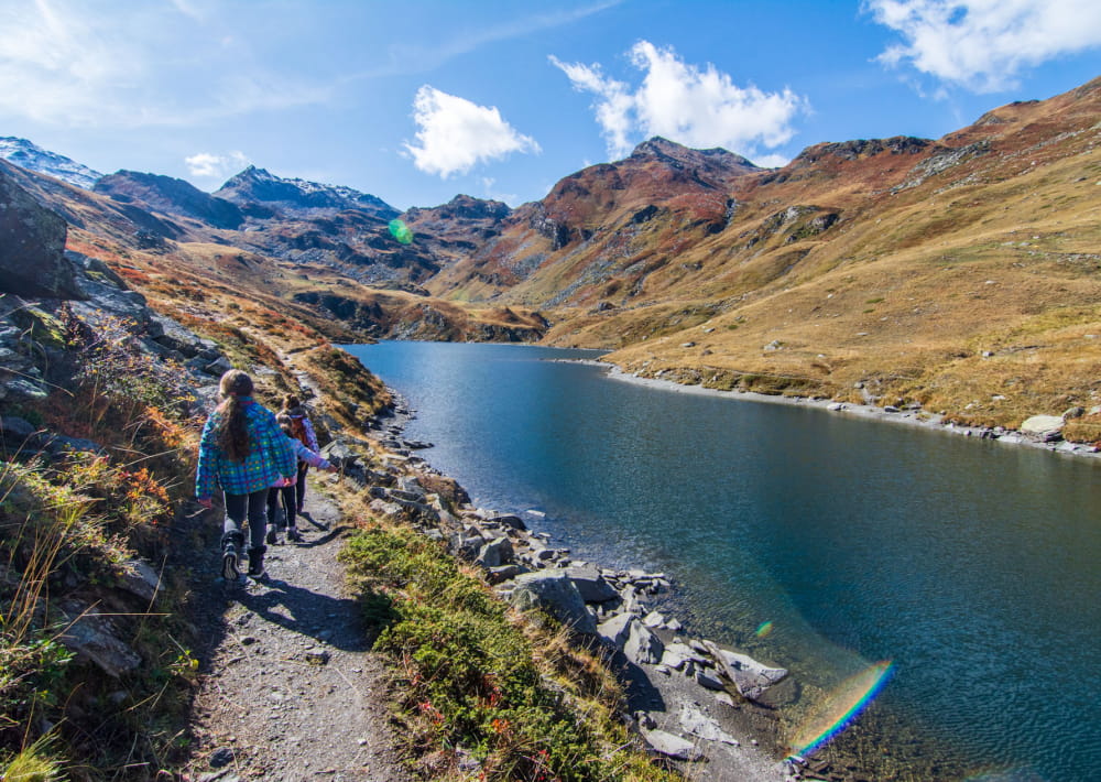
Pedestrian sports Hiking itinerary
Plan de l’Eau des Bruyères
73440 Les Menuires
Ajouter aux favoris
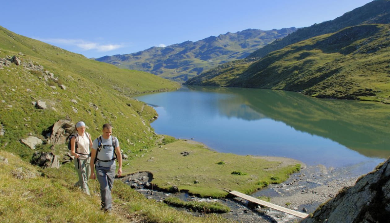
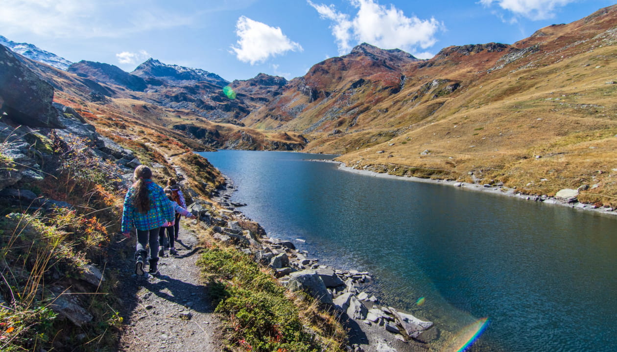
Come to discover the biggest and most beautiful lake of Belleville’s valley situated in a virgin valley, free from any ski chairlifts and telecabines.
Place of Departure: Parking of Plan d’Eau at Bruyeres
Altitude at point of departure: 1758m
Maximum altitude: 2050m
Access for pushchairs: no
Nature of the Ground: soil
Difficulty Levels: Easy
From 01/06 to 31/10 : open daily.
Path "Le Lac du Lou"
Plan de l’Eau des Bruyères
73440 Les Menuires