20 Nov. 2020
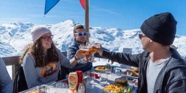
5 good reasons to stay in Coeur de Tarentaise in Winter
Posts


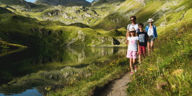
Pedestrian sports Hiking itinerary
Parking du Pradier
73600 Hautecour
Ajouter aux favoris
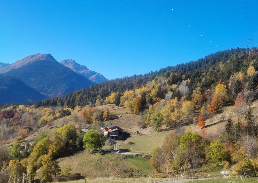
This relatively difficult hike offers very pretty views and varied landscapes (forests and mountain pastures). The Quermoz is the highest point of Hautecour (2296 m). At the top, a 360 ° view !
This relatively difficult hike offers beautiful views and varied landscapes (forests and mountain pastures). Possible in summer and in winter with snowshoes or ski touring.
Practical information :
IGN map: TOP25 3532 OT Massif du Beaufortain
2 possible variants from Hautecour for this hike which leads to the Quermoz summit (2296 m).
- Full version:
15 km Return - D+ : 1015 m - 6h30 Return from the PK of Pradier.
From Moûtiers, take the D85 in the direction of Hautecour, hamlet of Breuil (follow the signs "Plan d'eau").
Follow the road to the place called "le Pradier" (1300 m)
From the Pradier car park, count 3h30 of ascent including 1h30 before reaching the chalets de la Faverge (parking point for the short version).
- Short version :
9 km Return - D+: 492 m - 3h50 Return from the chalets de la Faverge.
From Le Pradier, continue by car along the Alpages forest road for 4.5 km to the chalets de la Faverge (1764 m) at the place called "Prariond", where you can leave your vehicle (a few metres after the cross on your right in the bend).
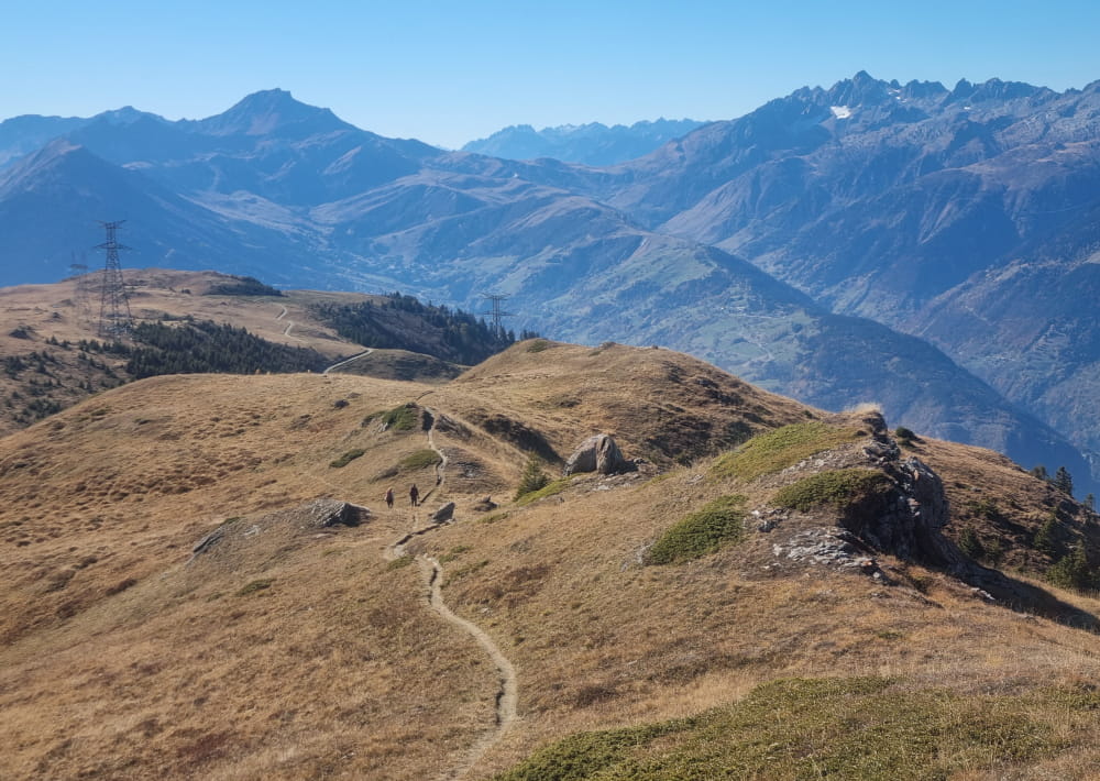
The path climbs directly behind the chalet. Then, you will pass in front of the communal chalet of La Faverge (pink façade) in the direction of the high voltage line.
Never leave the forest track. You will continue on this forest track after the first isolated chalet on your left and then further on you will find the communal chalet of the PLAI!A (1972 m). Continue on this same forest track to the right and follow the signs (green/yellow panels).
On the plateau, a sign indicates "lac du Bozon", take this direction and at the "passage du Bozon" (2060 m), follow the small path that will lead you to the crests.
The Quermoz is in front of you, it is only 1.3 km (55 minutes) away.
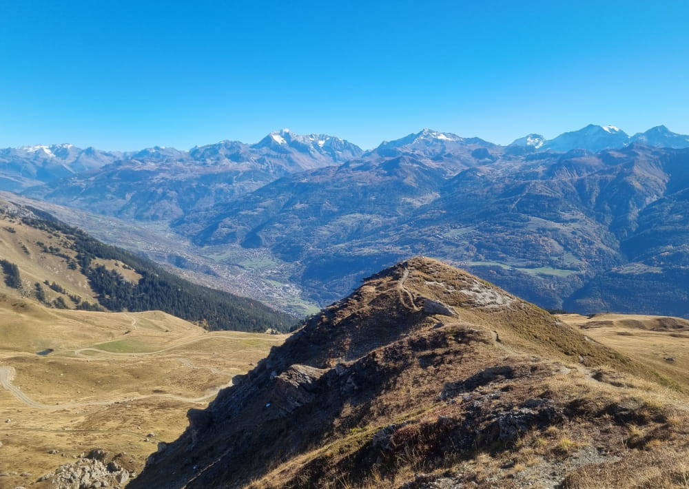
From the ridges, as you walk the last few metres, admire the landscape:
- The Nâves Valley and the Beaufortain massif on your left
- The mountains and glaciers of Haute Tarentaise on the right
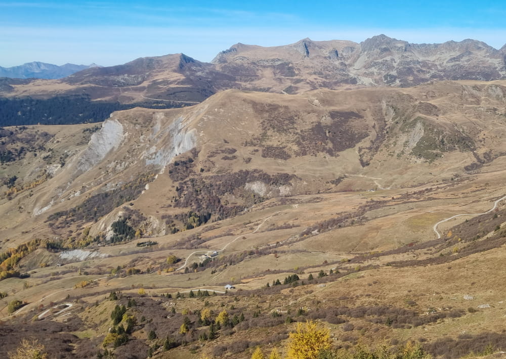
A final, somewhat steep climb will take you to the summit of the Quermoz (2296m).
What a satisfaction at the arrival with a grandiose panorama and an incredible 360° view!
Mont-Blanc, Alpes Grées, Vanoise, Encombres, Pelvoux, Ecrins, Meije, Lauzière, Belledonne, Bauges and the neighbouring summits of Beaufortain.
All year round.
Subject to favorable snow and weather conditions.
Le Quermoz path
