31 Aug. 2020
Tour de France in Moûtiers 16-17 september 2020
Event, News


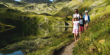
Pedestrian sports Hiking itinerary
Route de la Montagne
73600 Notre-Dame-du-Pré
Ajouter aux favoris
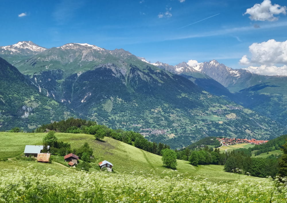
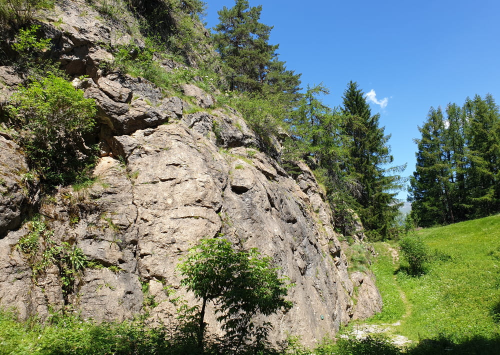
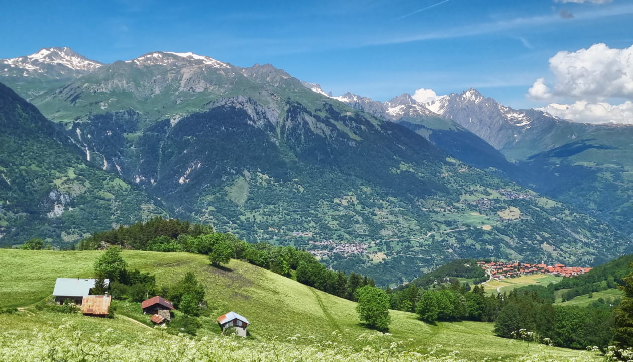
This hiking itinerary in the forest has some great surprises for you: a spot with an incredible view of the valley and the Col de la Madeleine, the climbing rock of the Glaisy, the former hamlet of Pravin and the Mt-Blanc in the line of sight!
Departure : Glaisy Campsite (D1)
Min altitude: 1410 m
Max altitude: 1573 m
To reach the Montagnette de Pravin, turn right once you arrive on the forest track and make a short round trip before returning to the Tour du Glaisy trail.
All year round.
Subject to favorable snow and weather conditions.
Tour du Glaisy (large loop)
Route de la Montagne
73600 Notre-Dame-du-Pré