31 Aug. 2020
Tour de France in Moûtiers 16-17 september 2020
Event, News
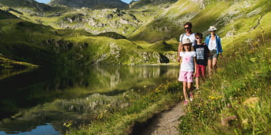
Pedestrian sports Hiking itinerary
Preyerand
73440 Les Belleville
Ajouter aux favoris
This itinerary links Les Menuires to Saint Martin following the Doron river.
Place of departure :Les Menuires - Preyerand
Altitude of departure point: 1850 m
Maximum Altitude: 1450 m
Walking map (available in the different Tourist Offices): path n°2
From 07/12 to 26/04.
Pedestrian path : Les Menuires-Saint Martin
Preyerand
73440 Les Belleville